East Bay Bike Path

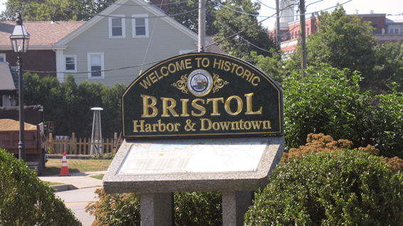
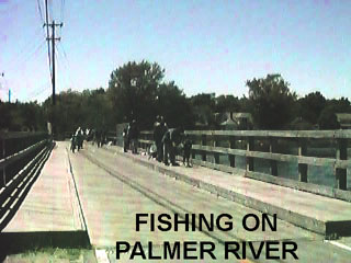
East Bay Bicycle Path Path is 14.5 miles long and runs from Providence through East Providence, Barrington, Warren and to Independence Park, Bristol, along abandoned railroad line. It passes along or near shoreline of Narragansett Bay. Intersects 49 streets including two traffic signal intersections at County Road, Barrington, and Main Street, Route 114, Warren, both of which are heavily traveled. Parking, restrooms, food, telephone and two picnic areas (Haines State Park, East Providence, and Colt State Park, Bristol) available. A variety of plant and animal life, including egrets, woodchucks and turtles may be seen along the path. Daily, 6 am-11 pm. 401-253-7482.


Some History here

Lets start the ride from Bristol

The bike path can start or end at Independence park in Bristol Rhode Island. The path is about 13 miles long and the other end is at the East Providence and Providence line.

Here are some photos I have taken of the street crossing

  • 0. 0miles: Independence Park. (Bristol, RI) See Photos
  • 0.4 miles: Poppasquash Road grade crossing. See Photos
  • 0.5 miles: A salt water marsh
  • 1.1 miles: Grade crossing at Asylum Road. See Photos
  • 1.4 miles: Grade crossing at Fales Road. See Photo
  • 1.6 miles: Mulberry Road grade crossing. See Photo
  • 1.8 miles: Gibson Road grade crossing. See Photos
  • 2.0 miles: Aaron Avenue. See Photos
  • 2.1 miles: Peck Rock Road grade crossing.See Photo
  • __ ____ Beach Road See Photos
  • 2.8 miles: North Farm Road grade crossing. See Photo
  • 2.9 miles: Warren / Bristol line See Photos
  • 3.3 miles: Locust Terrace. See Photos
  • __ ____ Maple Street See Photo
  • 3.4 miles: Grade crossing at Bradford Street. See Photo
  • 3.6 miles: Grade crossing at Beach Street. See Photo
  • 3.7 miles: The Lester M. Derissi Tunnel. See Photos
  • 3.9 miles: Grade crossing at Haile Street & Route 114 See photo
  • 4.0 miles: Grade Crossing of Franklin Street. See Photo
  • 4.4 miles: Grade crossing of Child Street. See Photos
  • __ ____ Market Street Grade Crossing See Photo
  • 4.5 miles: Grade crossing of Wood Street. See Photo
  • 4.6 miles: Grade crossing of Hope Street. See Photo
  • 4.7 miles Grade crossing of Nobert St. See Photo
  • 4.8 miles Grade crossing of Brown St. See Photo
  • 4.9 miles: Grade crossing of Kelly Street .See Photos
  • 5.0 miles Warren Detour See Photos
  • 5.1 miles: Crossing over the Palmer River (parallel to Route 114).
  • 5 .2 miles: Crossing at Sowams Road. ( Barrington, RI) CLOSED SEE PHOTO
  • 5.4 miles: Crossing at New Meadow Road, then over the Barrington River.
  • 5.9 miles: Grade crossing of County Road. (Lots of traffic here) See Photos
  • 6.2 miles: Gourmet Pantry has rest room here for patrons.
  • 6.4 miles: Crossing West Street. See Photos
  • __ Brickyard Pond See Photos
  • 7.3 miles: Middle Highway grade crossing. See Photo
  • __ South Lake Drive See Photos
  • 8.1 miles: Grade crossing at Washington Road. See Photos
  • 8.3 miles: Grade crossing of Alfred Drowne Road. See Photos
  • 8.5 miles: Grade crossing of Bay Spring Avenue. See Photos
  • 9.0 miles: Grade crossing of Narragansett Ave (Rest rooms in Haines State Park) See Photos
  • 9.1 miles: Grade crossing of Vintner Avenue (Entering East Providence.) See Photos
  • 9.3 miles: Grade crossing of Crescent View Avenue. See Photos
  • 9.5 miles: Bullock Cove Bridge. See Photos
  • 10.3 miles: Intersection with Turner Avenue See Photos
  • 10.5 miles: Grade crossing of Washington Street & (Rte 114 overpass).See Photos
  • 10.8 miles: Narragansett Bay.
  • 11.0 miles: Narragansett Bay Lighthouse. (start down-grade here). See Photos
  • 11.1 miles: Grade crossing of Fuller / Mobil Road. See Photos
  • 11.7 miles: Squantum Cove Bridge. See Photos
  • 12.0 miles: Grade crossing at Squantum Road. ( the Squantum Association) See Photos
  • 12.4 miles: Burgess Cove Bridge. See Photos
  • 12.5 miles Spooky Bottom Scenic Dock / University Orthopedics. See Photos
  • 12.7 miles: Watchemoket Cove bridge. See Photos
  • 12.8 miles: Trail now moves towards East and uphill. (now off old R/R) See Photos
  • and on sidewalk at Veteran's Memorial Parkway. See Photos
  • 13.2 miles: Gulf Oil Terminal and Metacomet Golf Club. See Photos
  • 13.5 miles: Veteran's Memorial Parkway overlook and parking area. See Photos
  • 14.0 miles: Ramp to Washington Bridge to Providence. (Comedy Connection)
  • 14.5 miles: The end of path is behind the Days Inn Hotel & India Point Park in Providence, RI.


No Claim To Perfection!

No claim is made as to the accuracy of my descriptions. If you should note any errors, please bring them to my attention and I will look forward to making corrections. Send corrections to Michael Ponte.


This webpage has been updated on August 24, 2020

Copyright © Your Website 2020